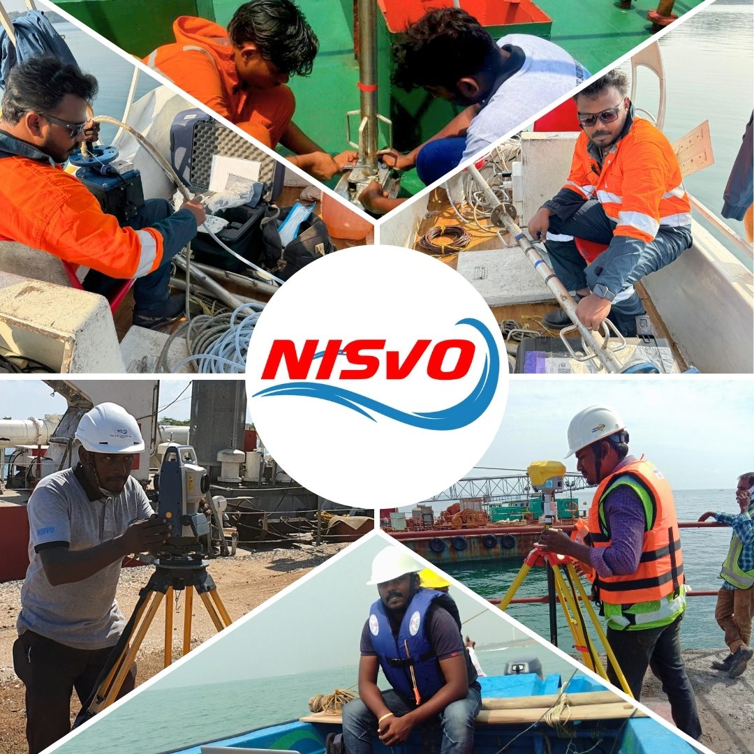
OUR SERVICES
NISVO has the capabilities to take-up multiple oceanographic projects throughout the world through following components.
"Fulfilling The Scientific Needs on Ocean Engineering.."
NISVO has the capabilities to take-up multiple oceanographic projects throughout the world through following components.
Bathymetry Survey
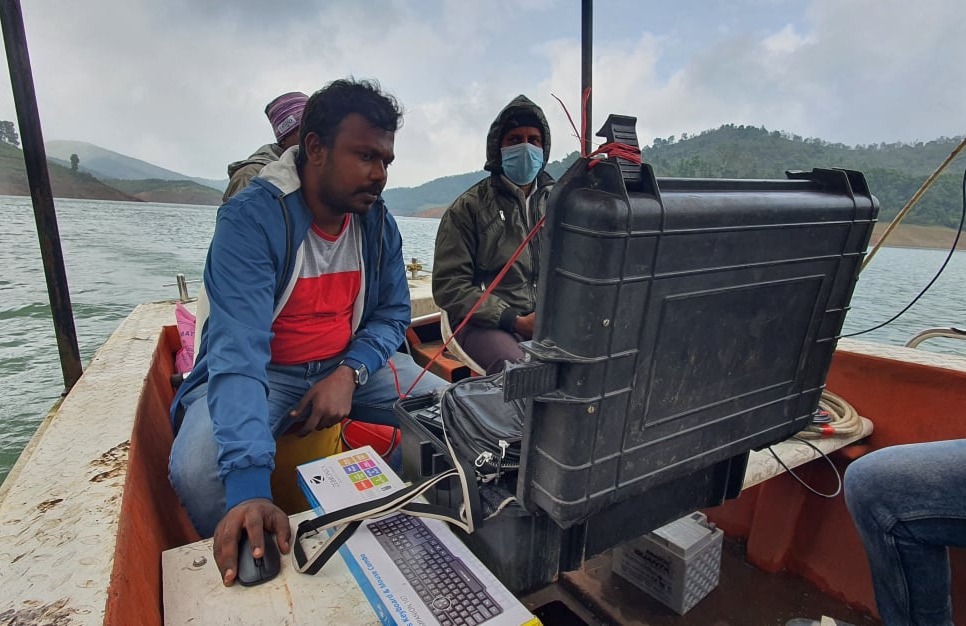
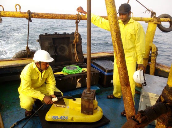
Bathymetry Surveys is the measurement of the depth of water bodies like Oceans, Rivers or Lakes. The Bathymetry Surveys is mainly used for Pre-Dredge, Dredge Monitoring, Post-Dredge activities, Navigations, Pipeline laying, Jetty/Wharf/Break-Water/Sea-Wall/Reverent Constructions, Shoreline changes/Monitoring, calculating de-silting quantity, Channel design etc.,We do Bathymetry by using Teledyne Odom MK III, Odom Echotrac CV 100, SyQwest Bathy-500 with Trimble marine grade RTK DGPS positioning systems and HYPACK 2022
Multibeam Survey
A Multibeam Survey employs a sonar system that releases numerous soundwaves in a fan-shaped pattern to chart the seabed. By calculating the time it takes for the sound waves to return from the seabed, the depth can be determined. This technology finds applications in fields such as Oceanography, hydrography and Marine geology.
Side Scan Sonar Survey
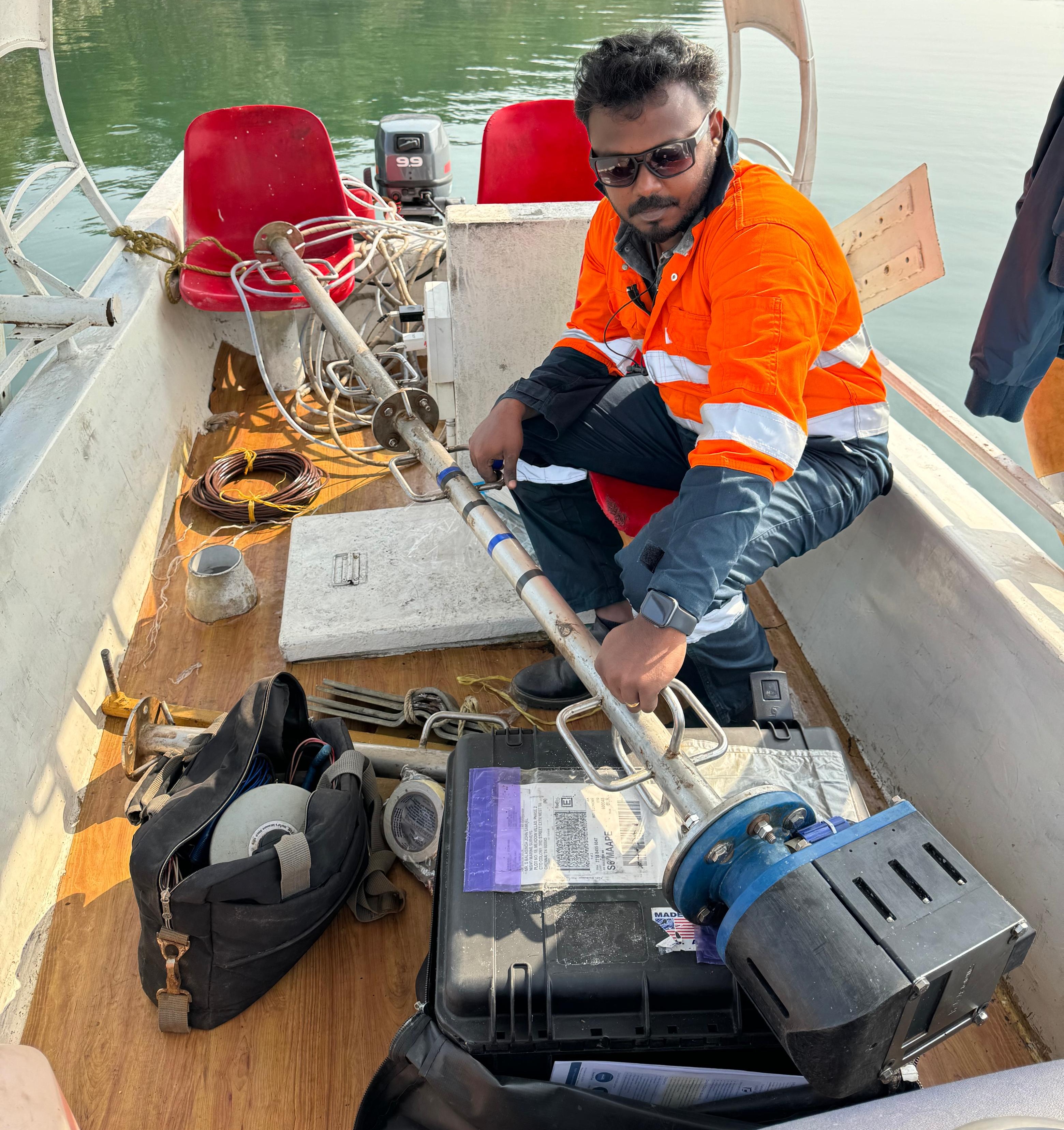
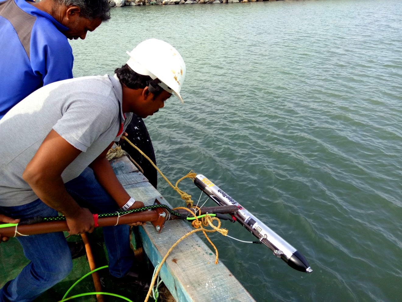
Side Scan Sonar is a seafloor mapping tool to identify fallen objects, debris, exposed rocks, and sediment distribution on the seafloor. The side scan sonar is generally used for the planning of Jetty/Wharf/Break-Water/Seawall constructions, offshore navigations, dredging projects, pipeline layout, channel design, finding fallen objects and debris on floors, etc. We perform side scan sonar surveys using Edge-Tech 4125 and Kongsberg Geo-Acoustics 159D side scan sonar systems with Trimble Marine grade RTK DGPS positioning systems.
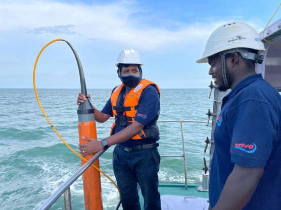
Core Sub-Bottom Profile Survey
The Shallow Seismic/Sub-Bottom Profile Survey is a tool to study the sub-seabed that helps identify buried rocks, man-made objects, and sedimentary formations under the seabed. The Shallow Seismic/Sub-Bottom Profile Survey is generally used for the planning of Jetty/Wharf/Break-Water/Seawall Constructions, Navigations, Dredging Projects, Pipeline Laying, Channel Design, Finding Buried Objects or Debris Under the Floor, etc. NISVO carries out the Shallow Seismic/Sub-Bottom Profile Survey by using Edge-Tech 216S and GeoPulse Sub-Bottom Profiler with Trimble Marine Grade RTK DGPS Positioning Systems.
Magnetometer Survey
Magnetometer Surveys are used in a variety of fields and are particularly well suited to the detection and mapping of all sizes of ferrous objects including Anchors, Chains, Cables, Pipelines, Ballast and other Scattered Shipwreck Debris, Munitions (UXO), Aircraft, Engines and any other magnetic objects. A magnetometer measures variation in the earth’s magnetic field and can be used to detect anthropogenic and archaeological features on the Seabed, Buried on land or alternatively to assist in the mapping of geological features. We use the SeaSPY Marine Magnetometer for field studies.
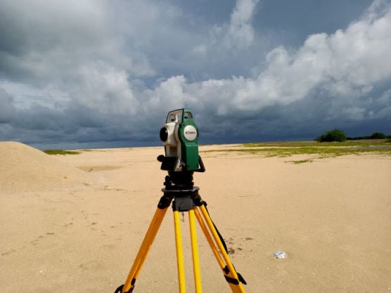
Coastal Topographic Survey
Topographic Data Shows the Shape or Configuration or Relief or Vertical Profile of a Surface/Coastal/River-Bunds etc.
For field data acquisition, NISVO uses
• Trimble RTK DGPS Systems
• Leica RTK DGPS Systems
• Leica Total Stations
• Sokkia Total Station
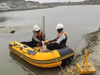
Core Sampling
A Core Sample is a cylindrical section of (usually) a naturally occurring substance. Most core samples are obtained by drilling with special drills into the substance for example, Sediment or Rock with a hollow steel tube called a core drill.
Numerical Modeling is a widely used approach to addressing intricate coastal dynamic issues by simulating hydrology scenarios computationally. This Modeling analysis aids in the design of offshore structures like Breakwater, Seawall, Revetment, Jetty as well as Intake and Outfall Pipeline Projects.
Marine Biology Research aids in comprehending the Ecological factors affecting biological aspects like Primary Productivity, Phytoplankton, Biomass and Diversity, Zooplankton, Biomass and Diversity, Macro Benthos, Biomass and Diversity, Microbial population in Water and Sediments, Mangroves and Sea Weeds, as well as the Biological status of floral and faunal communities in the Designated Project Areas.
The Chemical Properties of Seawater are Investigated by Obtaining Samples from appropriate Locations and Testing for Various Parameters such as Temperature, pH, Salinity, Dissolved oxygen, Biochemical oxygen Demand, Turbidity, Ammonia-N, Nitrite-N, Inorganic Phosphate, Total Suspended Solids, Phenolic Compounds, Petroleum Hydrocarbons, Cadmium, Lead, Mercury, Chromium, and More. These analyses contribute to our understanding of the Environmental Conditions at Project Sites.
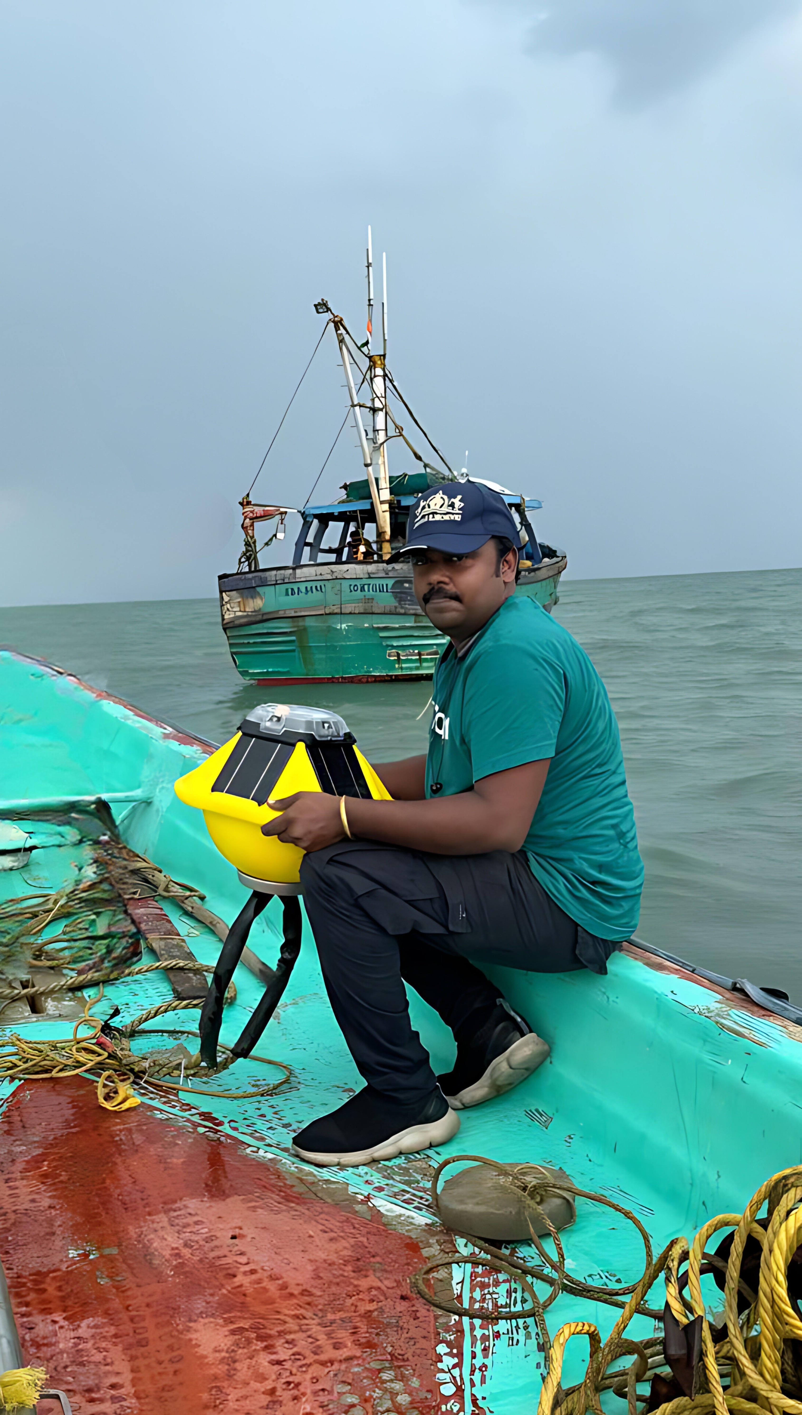
The Alternate Rising and Falling of the Sea, usually twice in each Lunar day at a Particular place, due to the attraction of the Moon and Sun is the tide. Tide measurements are essential to generate models for planning offshore structures such as Breakwater, Seawall, Revetment, Jetty etc.
Different Weather Conditions cause the formation of waves as a result of various forces acting on water. Analyzing different Wave Characteristics aids in developing models for designing offshore structures like Breakwater, Seawall, Revetment, Jetty more.
Ocean Currents are responsible for the Continuous Flow of Water, a crucial factor in the field of Ocean Engineering. Accurate measurements of these Currents are vital for developing models used in the Design of offshore structures like Breakwaters, Seawalls, Revetments, and jetties.
Wind speed and Directions involve many ocean-related Related Activities and Environmental Studies to achieve Perfect planning on Ocean Engineering.
No.39, Doctors Colony, Near IMA Hall, Bharathi Nagar, West Tambaram, Chennai, Tamil Nadu - 600045.
Please click me send us suggestions! Any feedback would be appreciated.
Google Map : NISVO MARINE SURVEYS LLP
09:00am - 18:30pm